Land Clearing for Thomaston's River Gorge and Historic District Lots
Thomaston splits into two very different jobs: steep, wooded slopes above the Naugatuck River gorge, and tight residential lots in the historic district around the old Seth Thomas clock factory. We clear both, along with the open agricultural land on the town's rural edges.
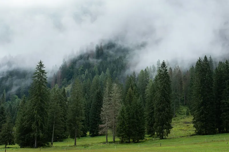
Thomaston's defining feature is the Naugatuck River gorge that cuts through the middle of town. The slopes above it are steep, often ledge-covered, and genuinely difficult to access — this isn't the boilerplate "rugged terrain" language you see on every land clearing site, it's a real equipment-access problem we plan around on nearly every gorge-adjacent job, using low-ground-pressure and tracked machinery instead of standard wheeled equipment.
In town, Thomaston's character still carries the imprint of the Seth Thomas clock factory that built the borough. The historic district around downtown has tight residential lots with narrow access between older homes, which calls for compact equipment and careful, selective forestry mulching rather than heavy machinery. Head out toward the town's rural edges, though, and the job changes completely — open agricultural land and larger wooded parcels where a full lot clearing job makes more sense.
Because the Naugatuck River runs directly through town, riverside lots carry meaningful wetland and flood plain buffers. We check setback lines against Thomaston's wetlands maps before any equipment moves onto a riverside parcel, and we build permit timing into the estimate up front so it doesn't hold up the job later.
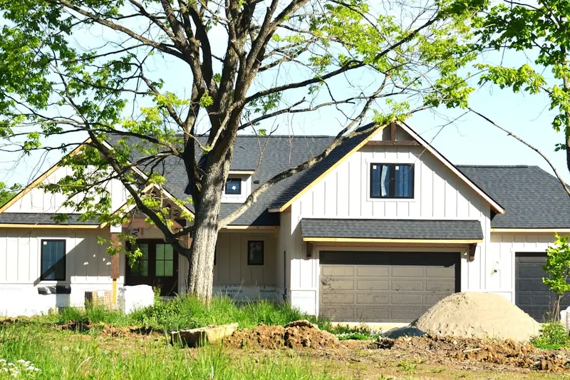
We're also seeing steady new-construction activity along the Route 6 corridor east of the town center, where builders need lots cleared, graded, and stump-free ahead of foundation work. That's a different job entirely from the gorge-side and historic-district work, but it's become one of the more consistent sources of calls we get from Thomaston.
Get a Free EstimateNearby Service Areas
We also clear land in Torrington, just north along the Naugatuck River corridor, and Watertown, bordering Thomaston to the south.